Geolocate

Oradour topographic map

Click on the map to display elevation.

Oradour

La commune d’Oradour s’étend sur 3 377 ha à une altitude moyenne de 940 m.

Wikipedia (CC-BY-SA 3.0)

About this map

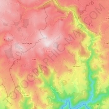
Name: Oradour topographic map, elevation, terrain.

Location: Oradour, Neuvéglise-sur-Truyère, Saint-Flour, Cantal, Auvergne-Rhône-Alpes, France métropolitaine, 15260, France (44.88762 2.86918 44.96953 2.95166)

Average elevation: 971 m

Minimum elevation: 636 m

Maximum elevation: 1,155 m

Other topographic maps

Click on a map to view its topography, its elevation and its terrain.

Gear up for your next adventure:

Camping Coffee Maker - Brew fresh coffee anywhere on the topographic map
💧Reusable Water Bottle - Durable water bottles for hydration on trails
🚑Survival Whistle - Signal for help across long distances in mountains
🧤Thermal Hiking Gloves - Grip-enhanced gloves for cold-weather altitude trekking
🐕Hiking Dog Pack - Let your canine companion carry their own water and food

As an Amazon Associate, this site earns from qualifying purchases at no extra cost to you.