Geolocate

Hemlock Grove topographic map

Click on the map to display elevation.

About this map

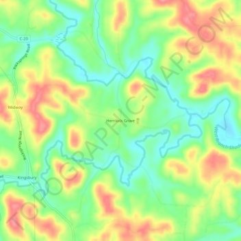
Name: Hemlock Grove topographic map, elevation, terrain.

Location: Hemlock Grove, Meigs County, Ohio, 45776, United States (39.10091 -82.00570 39.14091 -81.96570)

Average elevation: 228 m

Minimum elevation: 187 m

Maximum elevation: 277 m

Other topographic maps

Click on a map to view its topography, its elevation and its terrain.

Rutland

United States > Ohio > Meigs County

Average elevation: 202 m

Pomeroy

United States > Ohio > Meigs County

Average elevation: 209 m

Gear up for your next adventure:

🧢Beanie Hat - Keep your head warm in cold weather
🧦Merino Wool Socks - Moisture-wicking comfort for long-distance hiking
🔋Solar Power Bank - Keep your GPS and devices charged during long outdoor trips
🧤Rechargeable Heated Gloves - Extreme warmth for Canadian winter expeditions
🧦Thermal Socks - Warm socks for winter hiking or camping

As an Amazon Associate, this site earns from qualifying purchases at no extra cost to you.