
Make a donation
Gear up for your next adventure:
As an Amazon Associate, this site earns from qualifying purchases at no extra cost to you.
Neddenaverbergen topographic map
Click on the map to display elevation.
Make a donation
Gear up for your next adventure:
As an Amazon Associate, this site earns from qualifying purchases at no extra cost to you.
Neddenaverbergen
In der Endphase des Zweiten Weltkrieges fand in Neddenaverbergen ein Raketen-Sonderschießen in Richtung eines Zielgebiets nahe Sylt statt, das die Zielgenauigkeit der V2 erhöhen sollte.
Make a donation
Gear up for your next adventure:
As an Amazon Associate, this site earns from qualifying purchases at no extra cost to you.
About this map
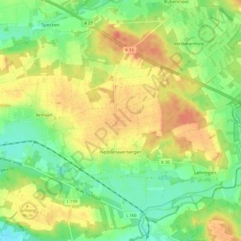
Name: Neddenaverbergen topographic map, elevation, terrain.
Average elevation: 36 m
Minimum elevation: 13 m
Maximum elevation: 60 m
Make a donation
Gear up for your next adventure:
As an Amazon Associate, this site earns from qualifying purchases at no extra cost to you.
Other topographic maps
Click on a map to view its topography, its elevation and its terrain.