

Quelccaya topographic map
Click on the map to display elevation.
Quelccaya
The Andes in Peru, Ecuador, and Bolivia are subdivided into several separate mountain ranges, many of which are glaciated above 5,000 metres (16,000 ft) elevation; Peru contains about 70% of all tropical glaciers. Together with the Coropuna volcano also in southern Peru and ice bodies in New Guinea and the Rwenzori Mountains in Africa, Quelccaya is one of the few tropical ice caps in the world; during glacial times there were more ice caps which may have resembled Quelccaya. The existence of two smaller ice caps south of Quelccaya was reported in 1968.
About this map
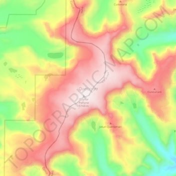
Name: Quelccaya topographic map, elevation, terrain.
Location: Quelccaya, Checacupe, Province of Canchis, Cusco, Peru (-13.97522 -70.86749 -13.87505 -70.75958)
Average elevation: 5,167 m
Minimum elevation: 4,611 m
Maximum elevation: 5,661 m