Geolocate

Caddo topographic map

Click on the map to display elevation.

About this map

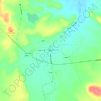
Name: Caddo topographic map, elevation, terrain.

Location: Caddo, Stephens County, Texas, 76492, United States (32.69793 -98.68831 32.73793 -98.64831)

Average elevation: 397 m

Minimum elevation: 371 m

Maximum elevation: 448 m

Other topographic maps

Click on a map to view its topography, its elevation and its terrain.

Breckenridge

United States > Texas > Stephens County

Average elevation: 377 m

Breckenridge

United States > Texas > Stephens County

Average elevation: 377 m

Breckenridge

United States > Texas > Stephens County

Average elevation: 377 m

Breckenridge

United States > Texas > Stephens County

Average elevation: 377 m

Gear up for your next adventure:

🛌Insulated Sleeping Pad - Critical thermal barrier between you and the cold ground
💧Filtered Water Bottle - Safe drinking water on the go
🩹Compact First Aid Kit - Pre-packed essentials for common trail injuries
💡LED Headlamp - Hands-free illumination for night hiking and camping
🥾Hiking Shorts - Breathable shorts suitable for summer hikes

As an Amazon Associate, this site earns from qualifying purchases at no extra cost to you.