Geolocate

Plainville topographic map

Interactive map

Click on the map to display elevation.

About this map

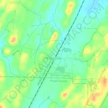
Name: Plainville topographic map, elevation, terrain.

Location: Plainville, Gordon County, Georgia, United States (34.39966 -85.04308 34.41255 -85.01816)

Average elevation: 213 m

Minimum elevation: 197 m

Maximum elevation: 237 m

Other topographic maps

Click on a map to view its topography, its elevation and its terrain.

Sugar Valley

United States > Georgia > Gordon County

Sugar Valley, Gordon County, Georgia, 30746, United States

Average elevation: 208 m

Calhoun

United States > Georgia > Gordon County

Calhoun, Gordon County, Georgia, 30701, United States

Average elevation: 210 m

City of Plainville

United States > Georgia > Gordon County

City of Plainville, Gordon County, Georgia, United States

Average elevation: 213 m

Ranger

United States > Georgia > Gordon County

Ranger, Gordon County, Georgia, United States

Average elevation: 252 m

Fairmount

United States > Georgia > Gordon County

Fairmount, Gordon County, Georgia, United States

Average elevation: 249 m

Calhoun

United States > Georgia > Gordon County > Calhoun > Calhoun

Calhoun, Gordon County, Georgia, 30701, United States

Average elevation: 206 m