Geolocate

Secsi topographic map

Click on the map to display elevation.

About this map

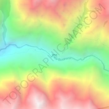
Name: Secsi topographic map, elevation, terrain.

Location: Secsi, Yuracmarca, Huaylas, Áncash, Perú (-8.78765 -77.79101 -8.74765 -77.75101)

Average elevation: 3,679 m

Minimum elevation: 2,688 m

Maximum elevation: 4,715 m

Gear up for your next adventure:

🗺️Topographic Maps - Detailed maps to explore trails, mountains, and wilderness areas
🧶550 Survival Paracord - Versatile utility cord for emergency repairs and rigging
🥾Trail Hiking Shoes - Durable shoes designed for rugged trails
🥾Waterproof Hiking Boots - Essential footwear for rugged terrain and wet Canadian trails
🧼Biodegradable Camp Soap - Environmentally friendly cleaning for gear and body

As an Amazon Associate, this site earns from qualifying purchases at no extra cost to you.