
Kitwanga topographic map
Click on the map to display elevation.
About this map
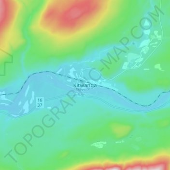
Name: Kitwanga topographic map, elevation, terrain.
Average elevation: 329 m
Minimum elevation: 159 m
Maximum elevation: 963 m
Regional District of Kitimat-Stikine trails, hiking, mountain biking, running and outdoor activities