
Hothfield topographic map
Interactive map
Click on the map to display elevation.
About this map
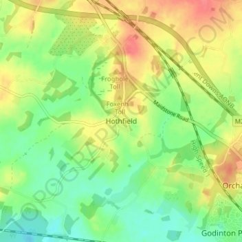
Name: Hothfield topographic map, elevation, terrain.
Location: Hothfield, Kent, South East, England, TN26 1ED, United Kingdom (51.15139 0.79856 51.19139 0.83856)
Average elevation: 61 m
Minimum elevation: 35 m
Maximum elevation: 92 m