Geolocate

Hilda topographic map

Click on the map to display elevation.

About this map

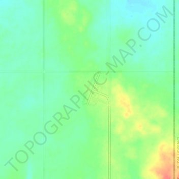
Name: Hilda topographic map, elevation, terrain.

Location: Hilda, Cypress County, Alberta, Canada (50.46066 -110.05478 50.50066 -110.01478)

Average elevation: 759 m

Minimum elevation: 744 m

Maximum elevation: 792 m

Cypress County trails, hiking, mountain biking, running and outdoor activities

Other topographic maps

Click on a map to view its topography, its elevation and its terrain.

Gear up for your next adventure:

🛶Kayak Dry Bag - Waterproof storage for kayaking adventures
🧢Hiking Sun Hat - Wide-brimmed protection for exposed mountain ridges
🚲Bike Repair Kit - Essential tools for on-trail mechanical issues
🛶Kayak Accessories - Essential gear for safe and fun kayaking adventures
🛏️Sleeping Bag - Warm and compact sleeping bags for outdoor camping

As an Amazon Associate, this site earns from qualifying purchases at no extra cost to you.