Geolocate

Clarkesville topographic map

Click on the map to display elevation.

About this map
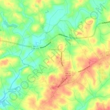
Name: Clarkesville topographic map, elevation, terrain.

Location: Clarkesville, Habersham County, Georgia, United States (34.59363 -83.55716 34.62706 -83.50552)

Average elevation: 418 m

Minimum elevation: 386 m

Maximum elevation: 451 m

Gear up for your next adventure:

🧰Emergency Multi-Tool - Compact multi-tool for outdoor survival
🚲MTB Frame Bag - Carry tools and maps directly on your bicycle frame
🧥Softshell Hiking Jacket - The perfect balance of wind protection and breathability
🚲Bike Repair Kit - Essential tools for on-trail mechanical issues
⛺Bushcraft Tarp - Versatile emergency shelter or gear protection

As an Amazon Associate, this site earns from qualifying purchases at no extra cost to you.