
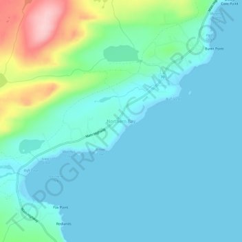
Northern Bay topographic map
Click on the map to display elevation.
About this map
Name: Northern Bay topographic map, elevation, terrain.
Average elevation: 37 m
Minimum elevation: -2 m
Maximum elevation: 199 m
Newfoundland and Labrador trails, hiking, mountain biking, running and outdoor activities
Other topographic maps
Click on a map to view its topography, its elevation and its terrain.
Bell Island
Canada > Newfoundland and Labrador > Wabana
The coast is very rocky and consists almost entirely of steep cliffs tens of meters high that tower up to 45 kilometres (28 mi) above sea level. The island, which continues to gain in altitude especially close to the coastline, reaches a maximum height of 148 metres (486 ft). Because the central part of the…
Average elevation: 30 m
Clarenville
Canada > Newfoundland and Labrador
The Clarenville area has many of the physical features characteristic of the East Coast of Newfoundland and has a marine climate. It lies along the coastal slopes which rise from the Atlantic Ocean towards the interior central plateau of the island. The dominating physical feature is a ridge of broken peaks…
Average elevation: 102 m