Geolocate

Union topographic map

Click on the map to display elevation.

About this map

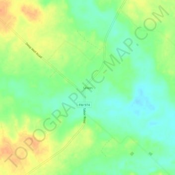
Name: Union topographic map, elevation, terrain.

Location: Union, Brazos County, Texas, United States (30.84325 -96.33024 30.88325 -96.29024)

Average elevation: 97 m

Minimum elevation: 80 m

Maximum elevation: 117 m

Other topographic maps

Click on a map to view its topography, its elevation and its terrain.

College Station

United States > Texas > Brazos County

Average elevation: 87 m

Bryan

United States > Texas > Brazos County

Average elevation: 92 m

College Station

United States > Texas > Brazos County

Average elevation: 87 m

Bryan

United States > Texas > Brazos County

Average elevation: 92 m

Bryan

United States > Texas > Brazos County

Average elevation: 92 m

Bryan

United States > Texas > Brazos County

Average elevation: 92 m

College Station

United States > Texas > Brazos County

Average elevation: 87 m

College Station

United States > Texas > Brazos County

Average elevation: 87 m

Gear up for your next adventure:

🪑Ultralight Camping Stool - Compact seating for rest stops during long hikes
🧭GPS Outdoor Watch - Smart watch for navigation and fitness tracking in nature
🚲MTB Frame Bag - Carry tools and maps directly on your bicycle frame
🏃Hydration Running Vest - Carry water and maps close to your body for speed
🧊Insulated Water Bottle - Keeps drinks cold in summer and prevents freezing in winter

As an Amazon Associate, this site earns from qualifying purchases at no extra cost to you.