Geolocate

Royal topographic map

Click on the map to display elevation.

About this map

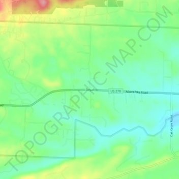
Name: Royal topographic map, elevation, terrain.

Location: Royal, Garland County, Arkansas, 71968, United States (34.49148 -93.26102 34.53148 -93.22102)

Average elevation: 160 m

Minimum elevation: 123 m

Maximum elevation: 231 m

Other topographic maps

Click on a map to view its topography, its elevation and its terrain.

Mountain Pine

United States > Arkansas > Garland County

Average elevation: 159 m

Rockwell

United States > Arkansas > Garland County > Rockwell

Average elevation: 138 m

Piney

United States > Arkansas > Garland County > Hot Springs

Average elevation: 146 m

Lonsdale

United States > Arkansas > Garland County

Average elevation: 149 m

Gear up for your next adventure:

👟Leg Gaiters - Keep debris, mud, and snow out of your boots
🥾Mountaineering Boots - Supportive boots for climbing and high-altitude hiking
🥾Mountain Trail Shoes - High-traction shoes for mountain trails
🧰Survival Kit - Essential gear for emergencies in the wilderness
🥫Freeze-Dried Meals - Lightweight, high-calorie nutrition for multi-day treks

As an Amazon Associate, this site earns from qualifying purchases at no extra cost to you.