Geolocate

Meru topographic map

Click on the map to display elevation.

About this map

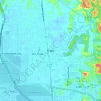
Name: Meru topographic map, elevation, terrain.

Location: Meru, Klang City, Klang, Selangor, 41050, Malaysia (3.09868 101.40113 3.17868 101.48113)

Average elevation: 14 m

Minimum elevation: 2 m

Maximum elevation: 116 m

Other topographic maps

Click on a map to view its topography, its elevation and its terrain.

Indah Island

Malaysia > Selangor > Klang City

Average elevation: 3 m

The Boss

Malaysia > Selangor > Klang City

Average elevation: 9 m

Indah Island

Malaysia > Selangor > Klang City

Average elevation: 3 m

Bukit Kapar

Malaysia > Selangor > Klang City

Average elevation: 24 m

Gear up for your next adventure:

💡LED Headlamp - Hands-free illumination for night hiking and camping
🧳Compression Sacks - Maximize space in your backpack by shrinking gear
🧥Softshell Hiking Jacket - The perfect balance of wind protection and breathability
🥾Hiking Boots - Sturdy boots providing ankle support and traction on rugged trails
🥾Trekking Boots - Durable boots for long-distance trekking

As an Amazon Associate, this site earns from qualifying purchases at no extra cost to you.