
Lac glaciaire topographic map
Interactive map
Click on the map to display elevation.
About this map
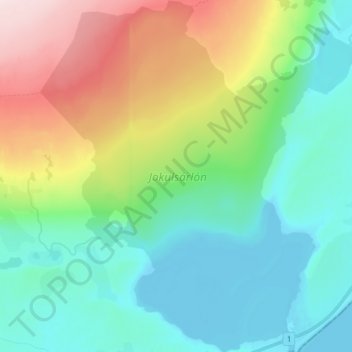
Name: Lac glaciaire topographic map, elevation, terrain.
Average elevation: 100 m
Minimum elevation: -4 m
Maximum elevation: 340 m
Other topographic maps
Click on a map to view its topography, its elevation and its terrain.
Skaftafell
Islande > Sveitarfélagið Hornafjörður
Skaftafell, Sveitarfélagið Hornafjörður, Suðurland, Islande
Average elevation: 131 m