
Make a donation
Gear up for your next adventure:
As an Amazon Associate, this site earns from qualifying purchases at no extra cost to you.
Wahova topographic map
Click on the map to display elevation.
Make a donation
Gear up for your next adventure:
As an Amazon Associate, this site earns from qualifying purchases at no extra cost to you.
Wahova
Vehowa, also spelled Vehova, is a Tehsil of Taunsa District of Punjab, Pakistan. Largely inhabited by the Khetran Baloch tribe, it is also called Tuman Khetran. The main languages spoken here are Saraiki, Balochi and Pashto. Located in southern part of the Punjab at 31°7'58N 70°30'46E, the tehsil has an elevation of 196 metres.
Make a donation
Gear up for your next adventure:
As an Amazon Associate, this site earns from qualifying purchases at no extra cost to you.
About this map
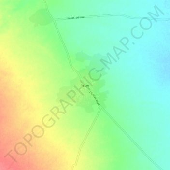
Name: Wahova topographic map, elevation, terrain.
Average elevation: 213 m
Minimum elevation: 190 m
Maximum elevation: 253 m
Make a donation
Gear up for your next adventure:
As an Amazon Associate, this site earns from qualifying purchases at no extra cost to you.