
Canayre topographic map
Interactive map
Click on the map to display elevation.
About this map
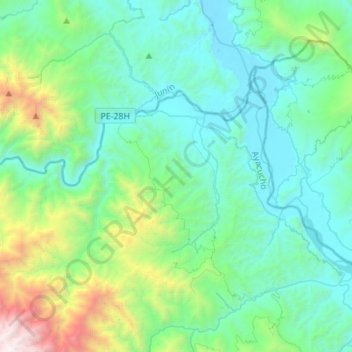
Name: Canayre topographic map, elevation, terrain.
Location: Canayre, Huanta, Ayacucho, Pérou (-12.41070 -74.24150 -12.24259 -73.96586)
Average elevation: 1,066 m
Minimum elevation: 450 m
Maximum elevation: 3,745 m
Other topographic maps
Click on a map to view its topography, its elevation and its terrain.
Coronel Portillo
Coronel Portillo, Canayre, Huanta, Ayacucho, Pérou
Average elevation: 704 m