
Coronel Portillo topographic map
Interactive map
Click on the map to display elevation.
About this map
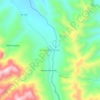
Name: Coronel Portillo topographic map, elevation, terrain.
Location: Coronel Portillo, Canayre, Huanta, Ayacucho, Pérou (-12.34276 -74.03253 -12.30276 -73.99253)
Average elevation: 704 m
Minimum elevation: 531 m
Maximum elevation: 1,024 m
Other topographic maps
Click on a map to view its topography, its elevation and its terrain.