Geolocate

Fish Creek topographic map

Click on the map to display elevation.

About this map
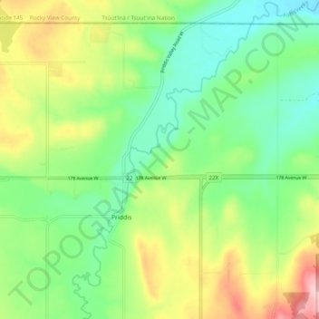
Name: Fish Creek topographic map, elevation, terrain.

Location: Fish Creek, Priddis, Foothills County, Alberta, T0L 1W0, Canada (50.86548 -114.34036 50.92581 -114.26368)

Average elevation: 1,192 m

Minimum elevation: 1,122 m

Maximum elevation: 1,316 m

Alberta trails, hiking, mountain biking, running and outdoor activities

Gear up for your next adventure:

🧣Evaporative Cooling Towel - Beat the heat during intense summer climbs
📷Outdoor Action Camera - Capture high-elevation views and rugged adventures
🧭Orienteering Kit - Tools for map reading and navigation in the wild
🦌Outdoor Trail Camera - Monitor wildlife activity near your favorite spots
🔨Vehicle Emergency Tool - Safety tool for remote road trips to trailheads

As an Amazon Associate, this site earns from qualifying purchases at no extra cost to you.