
Cape Chignecto Provincial Park topographic map
Interactive map
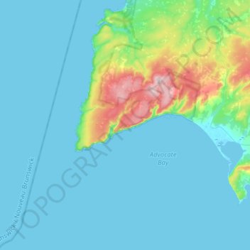
Click on the map to display elevation.
About this map
Name: Cape Chignecto Provincial Park topographic map, elevation, terrain.
Average elevation: 39 m
Minimum elevation: -2 m
Maximum elevation: 280 m
Nova Scotia trails, hiking, mountain biking, running and outdoor activities
Other topographic maps
Click on a map to view its topography, its elevation and its terrain.
Cape Chignecto
Canada > Nova Scotia > Cape Chignecto Provincial Park > Cape Chignecto Provincial Park
Average elevation: 20 m