
St. Blaise topographic map
Interactive map
Click on the map to display elevation.
About this map
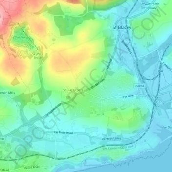
Name: St. Blaise topographic map, elevation, terrain.
Average elevation: 42 m
Minimum elevation: 0 m
Maximum elevation: 152 m
Other topographic maps
Click on a map to view its topography, its elevation and its terrain.
St Blazey Gate
United Kingdom > England > St Blazey Gate
St Blazey Gate, Cornwall, South West England, England, PL24 2EQ, United Kingdom
Average elevation: 48 m