Geolocate

Mariz topographic map

Click on the map to display elevation.

About this map

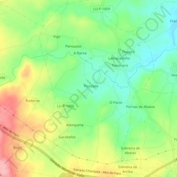
Name: Mariz topographic map, elevation, terrain.

Location: Mariz, Chantada, Lugo, Galicia, 27518, Spain (42.61791 -7.81620 42.64929 -7.78438)

Average elevation: 556 m

Minimum elevation: 500 m

Maximum elevation: 636 m

Gear up for your next adventure:

🧢Hiking Sun Hat - Wide-brimmed protection for exposed mountain ridges
🕯️Camping Lantern - Illuminates your entire campsite with high-efficiency LEDs
🧦Outdoor Socks - Durable socks designed for hiking and outdoor sports
💧Hydration Pack - Hands-free hydration system for long hikes
🧥Waterproof Pants - Keep dry during rainy hiking conditions

As an Amazon Associate, this site earns from qualifying purchases at no extra cost to you.