
Visby topographic map
Interactive map
Click on the map to display elevation.
About this map
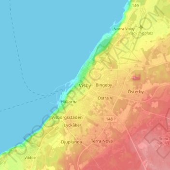
Name: Visby topographic map, elevation, terrain.
Location: Visby, Gotlands kommun, Gotlands län, 621 45, Zweden (57.59794 18.25798 57.67794 18.33798)
Average elevation: 30 m
Minimum elevation: -1 m
Maximum elevation: 78 m
Other topographic maps
Click on a map to view its topography, its elevation and its terrain.