Geolocate

Lac Cardinal topographic map

Click on the map to display elevation.

About this map

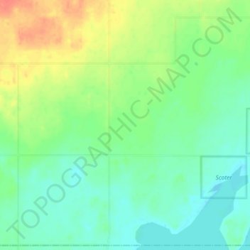
Name: Lac Cardinal topographic map, elevation, terrain.

Location: Lac Cardinal, Division No. 17, Alberta, Canada (56.24667 -117.83667 56.28667 -117.79667)

Average elevation: 655 m

Minimum elevation: 639 m

Maximum elevation: 682 m

Division No. 17 trails, hiking, mountain biking, running and outdoor activities

Other topographic maps

Click on a map to view its topography, its elevation and its terrain.

Lesser Slave Lake

Canada > Alberta > Division No. 17

Average elevation: 705 m

Gear up for your next adventure:

🧥Waterproof Jacket - Lightweight rain jackets for hiking and outdoor activities
🧥Fleece Jacket - Warm and lightweight jacket for layering
🛌Down Sleeping Bag - Superior warmth-to-weight ratio for cold nights
🌬️Windproof Camp Stove - Efficient cooking even on exposed mountain peaks
🌡️Emergency Mylar Blankets - Compact thermal protection for unexpected nights outdoors

As an Amazon Associate, this site earns from qualifying purchases at no extra cost to you.