Geolocate

Great Casterton topographic map

Click on the map to display elevation.

About this map

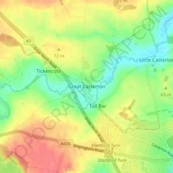
Name: Great Casterton topographic map, elevation, terrain.

Location: Great Casterton, Rutland, England, PE9 4AU, United Kingdom (52.65043 -0.54166 52.69043 -0.50166)

Average elevation: 63 m

Minimum elevation: 34 m

Maximum elevation: 92 m

Gear up for your next adventure:

🍽️Titanium Camping Spork - Ultralight and indestructible eating utensil
🥾Hiking Leggings - Comfortable leggings for outdoor activities
🧭GPS Tracker - Track your location in remote areas safely
🧭GPS Outdoor Watch - Smart watch for navigation and fitness tracking in nature
🧭GPS Handheld Device - Reliable GPS navigation for outdoor adventures

As an Amazon Associate, this site earns from qualifying purchases at no extra cost to you.