Geolocate

Pioneer topographic map

Click on the map to display elevation.

About this map

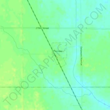
Name: Pioneer topographic map, elevation, terrain.

Location: Pioneer, Humboldt County, Iowa, United States (42.65002 -94.39351 42.65603 -94.38851)

Average elevation: 361 m

Minimum elevation: 354 m

Maximum elevation: 367 m

Other topographic maps

Click on a map to view its topography, its elevation and its terrain.

Unique

United States > Iowa > Humboldt County

Average elevation: 352 m

Gear up for your next adventure:

🥾Light Hiking Boots - Lightweight and comfortable boots for day hikes
Lightweight Backpacking Tent - Compact tent for efficient hiking trips
🔥Emergency Fire Starter - Reliable ignition source for all weather conditions
🔦LED Flashlight - Powerful and long-lasting flashlight for camping and emergencies
🧰Multitool Knife - Compact and versatile tool for outdoor use

As an Amazon Associate, this site earns from qualifying purchases at no extra cost to you.