Geolocate

Unique topographic map

Click on the map to display elevation.

About this map

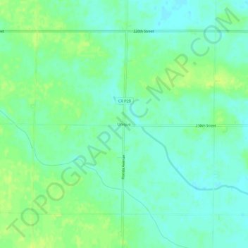
Name: Unique topographic map, elevation, terrain.

Location: Unique, Humboldt County, Iowa, United States (42.69719 -94.36525 42.73719 -94.32525)

Average elevation: 352 m

Minimum elevation: 345 m

Maximum elevation: 360 m

Other topographic maps

Click on a map to view its topography, its elevation and its terrain.

Thor

United States > Iowa > Humboldt County

Average elevation: 347 m

Thor

United States > Iowa > Humboldt County

Average elevation: 347 m

Pioneer

United States > Iowa > Humboldt County

Average elevation: 361 m

Pioneer

United States > Iowa > Humboldt County

Average elevation: 361 m

Gear up for your next adventure:

🧭GPS Handheld Device - Reliable GPS navigation for outdoor adventures
🪜Heavy Duty Carabiners - Multi-use clips for securing gear to your backpack
🔦LED Headtorch - Bright and durable light for night activities
🔭Compact Monocular - One-handed bird watching and trail spotting
🧤Insulated Winter Gloves - Heavy-duty protection for sub-zero Canadian adventures

As an Amazon Associate, this site earns from qualifying purchases at no extra cost to you.