Geolocate

Bonnyville topographic map

Click on the map to display elevation.

About this map

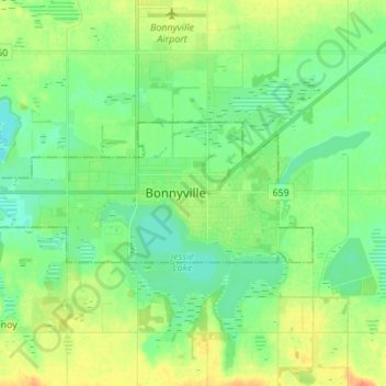
Name: Bonnyville topographic map, elevation, terrain.

Location: Bonnyville, Town of Bonnyville, Alberta, T9N 0A6, Canada (54.22778 -110.77516 54.30778 -110.69516)

Average elevation: 555 m

Minimum elevation: 541 m

Maximum elevation: 579 m

Alberta trails, hiking, mountain biking, running and outdoor activities

Gear up for your next adventure:

🧰Emergency Multi-Tool - Compact multi-tool for outdoor survival
🥾Light Trekking Boots - Supportive boots for multi-day treks
🧴Outdoor Sunscreen - High SPF protection for high-altitude UV exposure
🔭Compact Binoculars - Lightweight optics for scouting trails and wildlife
🧦Thermal Socks - Warm socks for winter hiking or camping

As an Amazon Associate, this site earns from qualifying purchases at no extra cost to you.