Geolocate

Elgin topographic map

Click on the map to display elevation.

About this map

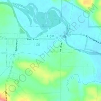
Name: Elgin topographic map, elevation, terrain.

Location: Elgin, Fayette County, Iowa, United States (42.94525 -91.64913 42.96179 -91.62153)

Average elevation: 261 m

Minimum elevation: 241 m

Maximum elevation: 335 m

Other topographic maps

Click on a map to view its topography, its elevation and its terrain.

Eldorado

United States > Iowa > Fayette County

Average elevation: 314 m

Gear up for your next adventure:

🎒Fully Waterproof Backpack - Total protection for photography gear and electronics
🧢Outdoor Cap - Protective cap for sun and rain during hikes
🔥Emergency Fire Starter - Reliable ignition source for all weather conditions
🥾Mountain Hiking Boots - High-traction boots for rocky terrain
🥾Durable Hiking Shoes - Long-lasting shoes for frequent hiking

As an Amazon Associate, this site earns from qualifying purchases at no extra cost to you.