
Make a donation
Gear up for your next adventure:
As an Amazon Associate, this site earns from qualifying purchases at no extra cost to you.
West Newton topographic map
Click on the map to display elevation.
Make a donation
Gear up for your next adventure:
As an Amazon Associate, this site earns from qualifying purchases at no extra cost to you.
About this map
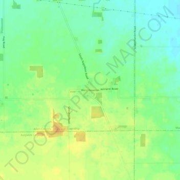
Name: West Newton topographic map, elevation, terrain.
Average elevation: 316 m
Minimum elevation: 302 m
Maximum elevation: 332 m
Make a donation
Gear up for your next adventure:
As an Amazon Associate, this site earns from qualifying purchases at no extra cost to you.
Other topographic maps
Click on a map to view its topography, its elevation and its terrain.
Cairo
United States > Ohio > Allen County
The elevation of the land area of Cairo (ranges from about 812' at the west end to 842' at the east end of the village above sea level) is benchmarked at 815 feet (248 m) above sea level, generally flat and moderately wooded. The nearest stream with year-round flow is Rattlesnake Creek, which flows from south…
Average elevation: 249 m
Make a donation
Gear up for your next adventure:
As an Amazon Associate, this site earns from qualifying purchases at no extra cost to you.