Geolocate

Lea Wood topographic map

Click on the map to display elevation.

About this map

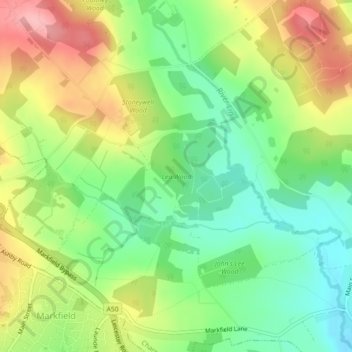
Name: Lea Wood topographic map, elevation, terrain.

Location: Lea Wood, Ulverscroft, Newtown Linford, Charnwood, Leicestershire, England, United Kingdom (52.69391 -1.26235 52.70066 -1.24982)

Average elevation: 170 m

Minimum elevation: 113 m

Maximum elevation: 245 m

Other topographic maps

Click on a map to view its topography, its elevation and its terrain.

Gear up for your next adventure:

🧦Crew Hiking Socks - Comfortable socks for long-distance hikes
🥾Trekking Boots - Durable boots for long-distance trekking
🧥Fleece Jacket - Warm and lightweight jacket for layering
🧥Softshell Jacket - Windproof and breathable jacket for hiking
🥾Approach Boots - Comfortable boots for hiking and climbing approaches

As an Amazon Associate, this site earns from qualifying purchases at no extra cost to you.