
Langedrag topographic map
Click on the map to display elevation.
About this map
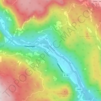
Name: Langedrag topographic map, elevation, terrain.
Location: Langedrag, Sør-Aurdal, Innlandet, Norway (60.75895 9.61525 60.79895 9.65525)
Average elevation: 425 m
Minimum elevation: 200 m
Maximum elevation: 724 m
Other topographic maps
Click on a map to view its topography, its elevation and its terrain.