
Thank you for supporting this site ❤️
Make a donation
Make a donation
Gear up for your next adventure:
As an Amazon Associate, this site earns from qualifying purchases at no extra cost to you.
Stavely topographic map
Click on the map to display elevation.
Thank you for supporting this site ❤️
Make a donation
Make a donation
Gear up for your next adventure:
As an Amazon Associate, this site earns from qualifying purchases at no extra cost to you.
About this map
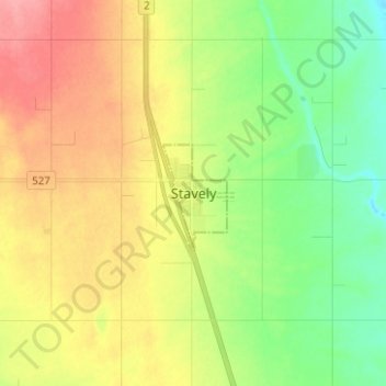
Name: Stavely topographic map, elevation, terrain.
Location: Stavely, Town of Stavely, Alberta, T0L 1Z0, Canada (50.12215 -113.68029 50.20215 -113.60029)
Average elevation: 1,039 m
Minimum elevation: 1,003 m
Maximum elevation: 1,083 m
Thank you for supporting this site ❤️
Make a donation
Make a donation
Gear up for your next adventure:
As an Amazon Associate, this site earns from qualifying purchases at no extra cost to you.