Geolocate

Leighton topographic map

Click on the map to display elevation.

About this map

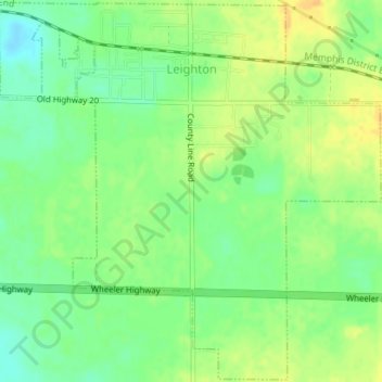
Name: Leighton topographic map, elevation, terrain.

Location: Leighton, Colbert County, Alabama, 35646, United States (34.67730 -87.54670 34.70595 -87.51143)

Average elevation: 175 m

Minimum elevation: 160 m

Maximum elevation: 190 m

Other topographic maps

Click on a map to view its topography, its elevation and its terrain.

Barton

United States > Alabama > Colbert County

Average elevation: 160 m

Ford City

United States > Alabama > Colbert County

Average elevation: 176 m

Leighton

United States > Alabama > Colbert County

Average elevation: 176 m

Gear up for your next adventure:

👟Sport Hiking Sandals - Breathable footwear for water crossings and camp rest
🥤Collapsible Travel Cup - Saves space and weight in your mess kit
🥾Trail Running Shoes - Lightweight and durable shoes for trail running
🥾Hiking Boots - Sturdy boots providing ankle support and traction on rugged trails
🔋Lithium AA Batteries - Long-lasting power that performs in extreme cold

As an Amazon Associate, this site earns from qualifying purchases at no extra cost to you.