
Buller River topographic map
Interactive map
Click on the map to display elevation.
About this map
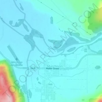
Name: Buller River topographic map, elevation, terrain.
Location: Buller River, Tasman, 7007, New Zealand (-41.79702 172.32178 -41.79399 172.33231)
Average elevation: 186 m
Minimum elevation: 153 m
Maximum elevation: 407 m
Other topographic maps
Click on a map to view its topography, its elevation and its terrain.