
Podere Rossi topographic map
Interactive map
Click on the map to display elevation.
About this map
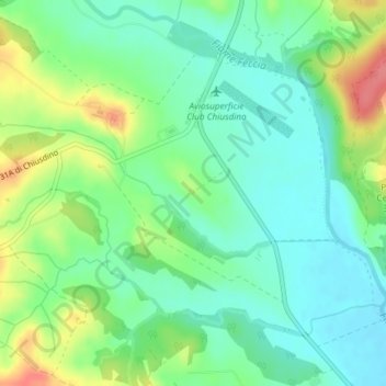
Name: Podere Rossi topographic map, elevation, terrain.
Location: Podere Rossi, Chiusdino, SI, Toscane, Italie (43.17387 11.13086 43.19387 11.15086)
Average elevation: 285 m
Minimum elevation: 260 m
Maximum elevation: 335 m
Other topographic maps
Click on a map to view its topography, its elevation and its terrain.