
Llandderfel topographic map
Interactive map
Click on the map to display elevation.
About this map
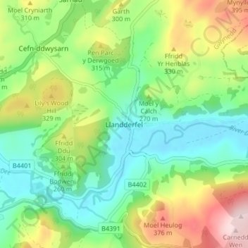
Name: Llandderfel topographic map, elevation, terrain.
Location: Llandderfel, Gwynedd, Wales, LL23 7HQ, United Kingdom (52.90172 -3.53739 52.94172 -3.49739)
Average elevation: 250 m
Minimum elevation: 146 m
Maximum elevation: 442 m