Geolocate

Dharmasagara topographic map

Click on the map to display elevation.

About this map

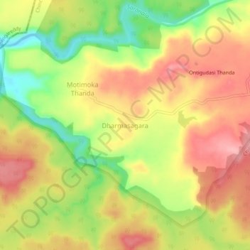
Name: Dharmasagara topographic map, elevation, terrain.

Location: Dharmasagara, Chincholi taluku, Kalaburagi, Karnataka, India (17.50913 77.50807 17.54913 77.54807)

Average elevation: 582 m

Minimum elevation: 510 m

Maximum elevation: 637 m

Gear up for your next adventure:

🥾Light Hiking Boots - Lightweight and comfortable boots for day hikes
🌡️Emergency Mylar Blankets - Compact thermal protection for unexpected nights outdoors
💡Solar Camping Lamp - Eco-friendly lighting for campsites
🧼Travel Hand Sanitizer - Keep hands clean when water is scarce
🧴Outdoor Sunscreen - High SPF protection for high-altitude UV exposure

As an Amazon Associate, this site earns from qualifying purchases at no extra cost to you.