
Old Joe topographic map
Click on the map to display elevation.
About this map
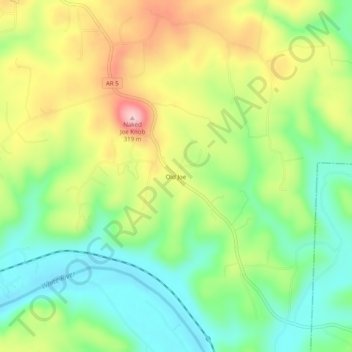
Name: Old Joe topographic map, elevation, terrain.
Location: Old Joe, Baxter County, Arkansas, 72519, United States (36.15451 -92.25154 36.19451 -92.21154)
Average elevation: 184 m
Minimum elevation: 101 m
Maximum elevation: 305 m
Other topographic maps
Click on a map to view its topography, its elevation and its terrain.