
South Thomaston topographic map
Interactive map
Click on the map to display elevation.
About this map
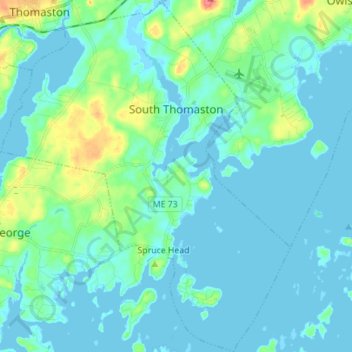
Name: South Thomaston topographic map, elevation, terrain.
Location: South Thomaston, Knox County, Maine, 04858, United States (43.98250 -69.19700 44.08230 -69.08269)
Average elevation: 10 m
Minimum elevation: -4 m
Maximum elevation: 56 m