Geolocate

Folly Pond topographic map

Click on the map to display elevation.

About this map

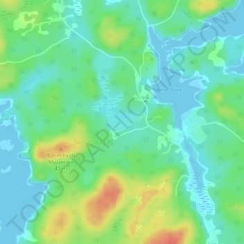
Name: Folly Pond topographic map, elevation, terrain.

Location: Folly Pond, Vinalhaven, Knox County, Maine, United States (44.07541 -68.85046 44.07746 -68.84496)

Average elevation: 16 m

Minimum elevation: -2 m

Maximum elevation: 52 m

Gear up for your next adventure:

🛶Kayak Dry Bag - Waterproof storage for kayaking adventures
💧Hydration Bladder - Hands-free hydration solution for long treks
🥾Waterproof Hiking Boots - Boots keeping your feet dry in wet conditions
🔋Emergency Crank Radio - Weather alerts and power without needing batteries
🧼Travel Hand Sanitizer - Keep hands clean when water is scarce

As an Amazon Associate, this site earns from qualifying purchases at no extra cost to you.