Geolocate

Zhangjiagang topographic map

Click on the map to display elevation.

About this map

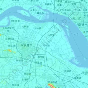
Name: Zhangjiagang topographic map, elevation, terrain.

Location: Zhangjiagang, Suzhou City, Jiangsu, China (31.72000 120.36531 32.04578 120.89166)

Average elevation: 5 m

Minimum elevation: -3 m

Maximum elevation: 250 m

Other topographic maps

Click on a map to view its topography, its elevation and its terrain.

九图村

China > Jiangsu > Suzhou City

Average elevation: 4 m

Gear up for your next adventure:

Tent Footprint - Protect tent floor and increase durability
🥾Waterproof Hiking Boots - Boots keeping your feet dry in wet conditions
🥾Approach Shoes - Shoes designed for climbing approaches and rugged trails
💡Compact LED Flashlight - Powerful and portable flashlight for outdoor use
🔭Compact Binoculars - Lightweight optics for scouting trails and wildlife

As an Amazon Associate, this site earns from qualifying purchases at no extra cost to you.