Geolocate

九图村 topographic map

Click on the map to display elevation.

About this map

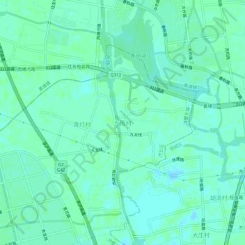
Name: 九图村 topographic map, elevation, terrain.

Location: 九图村, Suzhou City, Jiangsu, China (31.38973 120.52455 31.42973 120.56455)

Average elevation: 4 m

Minimum elevation: -3 m

Maximum elevation: 8 m

Other topographic maps

Click on a map to view its topography, its elevation and its terrain.

Middle Yangcheng Lake

China > Jiangsu > Suzhou City

Average elevation: 2 m

Zhangjiagang

China > Jiangsu > Suzhou City

Average elevation: 5 m

Gear up for your next adventure:

🔪Outdoor Multitool - Versatile tool for repairs and food prep in the wild
🥾Lightweight Hiking Boots - Boots for comfort and mobility on long hikes
🧴Sunscreen SPF - Broad-spectrum sunscreen for outdoor activities
🧢Outdoor Cap - Protective cap for sun and rain during hikes
🥘Camping Cookware Set - Compact nesting pots and pans for trail cooking

As an Amazon Associate, this site earns from qualifying purchases at no extra cost to you.