Geolocate

Percuil topographic map

Click on the map to display elevation.

About this map

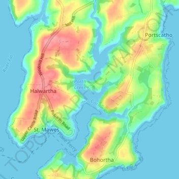
Name: Percuil topographic map, elevation, terrain.

Location: Percuil, Gerrans, Cornwall, England, TR2 5AS, United Kingdom (50.14751 -5.01975 50.18751 -4.97975)

Average elevation: 24 m

Minimum elevation: -2 m

Maximum elevation: 82 m

Gear up for your next adventure:

🧢Outdoor Cap - Protective cap for sun and rain during hikes
🧥Packable Rain Jacket - Breathable waterproof layer for unpredictable weather
🧦Merino Wool Socks - Moisture-wicking comfort for long-distance hiking
Bushcraft Tarp - Versatile emergency shelter or gear protection
🛰️Satellite Messenger - Emergency communication for areas with no cell service

As an Amazon Associate, this site earns from qualifying purchases at no extra cost to you.