Geolocate

Clapham topographic map

Click on the map to display elevation.
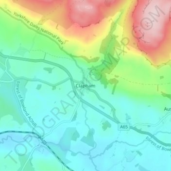
About this map

Name: Clapham topographic map, elevation, terrain.

Location: Clapham, Craven, North Yorkshire, England, LA2 8HH, United Kingdom (54.09746 -2.41210 54.13746 -2.37210)

Average elevation: 203 m

Minimum elevation: 122 m

Maximum elevation: 408 m

Other topographic maps

Click on a map to view its topography, its elevation and its terrain.

Gear up for your next adventure:

🧥Softshell Hiking Jacket - The perfect balance of wind protection and breathability
🧥Ultralight Puffy Jacket - Maximum warmth that packs down to the size of an orange
🧦Merino Wool Socks - Moisture-wicking comfort for long-distance hiking
🧢Sun Protection Cap - Breathable cap to protect from sun exposure
🔥Emergency Fire Starter - Reliable ignition source for all weather conditions

As an Amazon Associate, this site earns from qualifying purchases at no extra cost to you.