
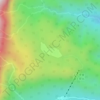
云杉坪 topographic map
Interactive map
Click on the map to display elevation.
About this map
Name: 云杉坪 topographic map, elevation, terrain.
Location: 云杉坪, 大具乡, 玉龙纳西族自治县, 丽江市, 云南省, 中国 (27.14136 100.22670 27.14564 100.23325)
Average elevation: 3,183 m
Minimum elevation: 2,867 m
Maximum elevation: 3,731 m
Other topographic maps
Click on a map to view its topography, its elevation and its terrain.