
上白水 topographic map
Interactive map
Click on the map to display elevation.
About this map
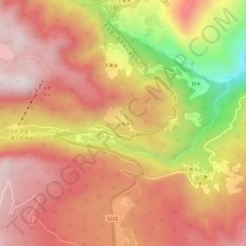
Name: 上白水 topographic map, elevation, terrain.
Location: 上白水, 大具乡, 玉龙纳西族自治县, 丽江市, 云南省, 中国 (27.11104 100.23312 27.15104 100.27312)
Average elevation: 2,990 m
Minimum elevation: 2,471 m
Maximum elevation: 3,285 m
Other topographic maps
Click on a map to view its topography, its elevation and its terrain.