Geolocate

Wonder Lake topographic map

Click on the map to display elevation.

About this map

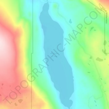
Name: Wonder Lake topographic map, elevation, terrain.

Location: Wonder Lake, Denali, Alaska, United States (63.45794 -150.89071 63.49631 -150.86331)

Average elevation: 700 m

Minimum elevation: 605 m

Maximum elevation: 905 m

Other topographic maps

Click on a map to view its topography, its elevation and its terrain.

Anderson

United States > Alaska > Denali > Anderson

Average elevation: 156 m

Kantishna

United States > Alaska > Denali

Average elevation: 678 m

Yanert Glacier

United States > Alaska > Denali

Average elevation: 1,703 m

Igloo Mountain

United States > Alaska > Denali

Average elevation: 1,085 m

Gear up for your next adventure:

👟Sport Hiking Sandals - Breathable footwear for water crossings and camp rest
🥾Approach Shoes - Shoes designed for climbing approaches and rugged trails
🧴Outdoor Sunscreen - High SPF protection for high-altitude UV exposure
🥤Collapsible Travel Cup - Saves space and weight in your mess kit
🥫Freeze-Dried Meals - Lightweight, high-calorie nutrition for multi-day treks

As an Amazon Associate, this site earns from qualifying purchases at no extra cost to you.