Geolocate

Anderson topographic map

Click on the map to display elevation.

About this map

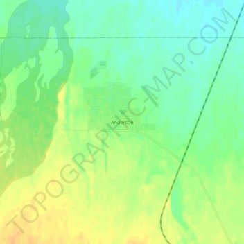
Name: Anderson topographic map, elevation, terrain.

Location: Anderson, Denali, Alaska, 99744, United States (64.32489 -149.20562 64.36489 -149.16562)

Average elevation: 156 m

Minimum elevation: 144 m

Maximum elevation: 170 m

Gear up for your next adventure:

💧Reusable Water Bottle - Durable water bottles for hydration on trails
🧰Survival Kit - Essential gear for emergencies in the wilderness
🧊Portable Cooler - Keep food and drinks cold during outdoor adventures
Camping Coffee Maker - Brew fresh coffee anywhere on the topographic map
🧦Outdoor Socks - Durable socks designed for hiking and outdoor sports

As an Amazon Associate, this site earns from qualifying purchases at no extra cost to you.